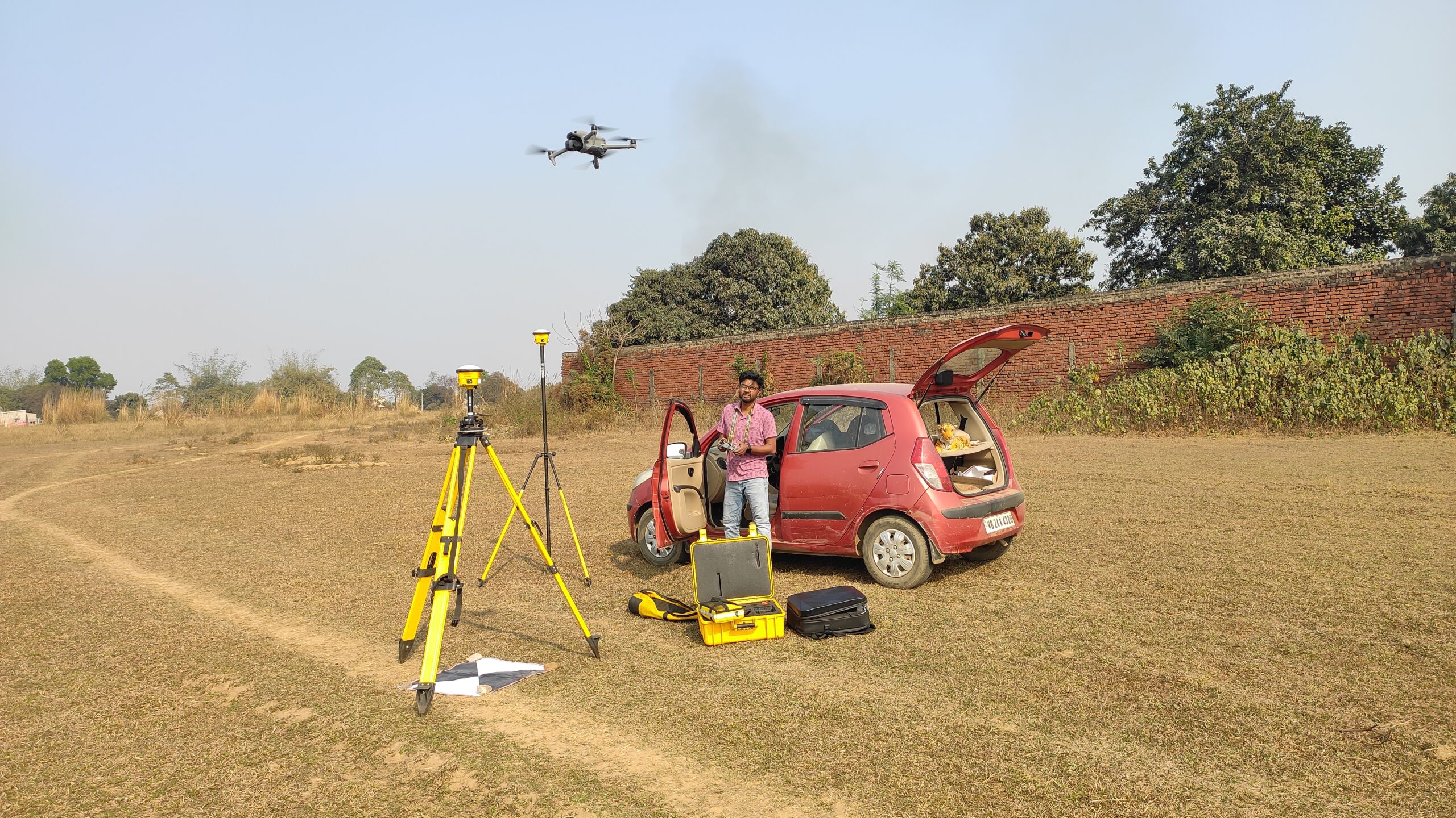
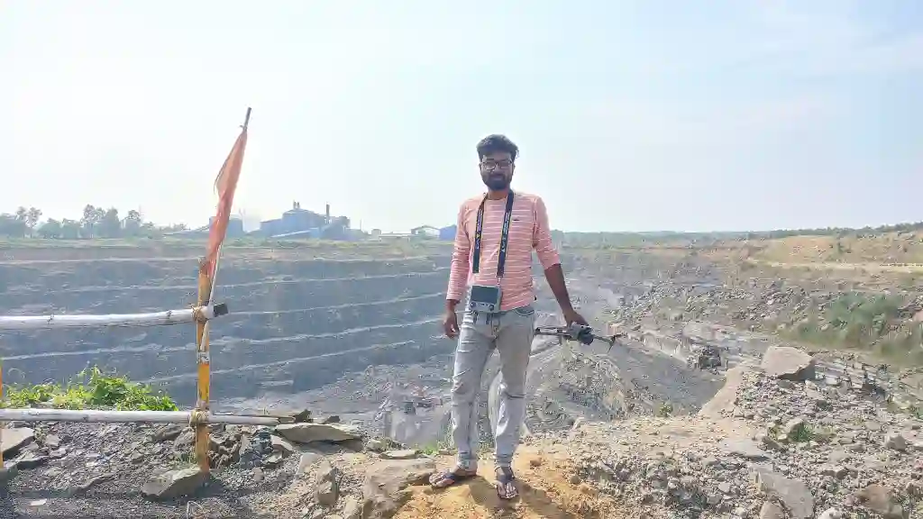
Advanced Remote Sensing & GIS Solutions for Smarter Spatial Decisions
We deliver professional Remote Sensing, GIS Mapping, and Spatial Data Analysis services to support government, infrastructure, environmental, and planning projects with accurate, data-driven insights.
Request Consultation
Turning Geospatial Data into Actionable Intelligence
We specialize in Remote Sensing, GIS Mapping, and Spatial Data Analysis, helping government bodies, planners, and organizations make informed decisions through accurate geospatial insights and advanced mapping solutions.
Explore Our Services

What Makes Our RSGIS
Solution Reliable

Accurate Data Solutions

High-precision spatial data for reliable decision-making.

Modern GIS Technology

Modern software & satellite data for powerful analysis.

Industry Expertise

Solutions designed for real-world industry challenges.

Reliable Project Delivery

On-time execution with future-ready scalability.

OUR SERVICE 

Smart GIS Solutions for Real-World Needs

Drone Service

High-resolution aerial data capture for mapping, inspection & analysis.
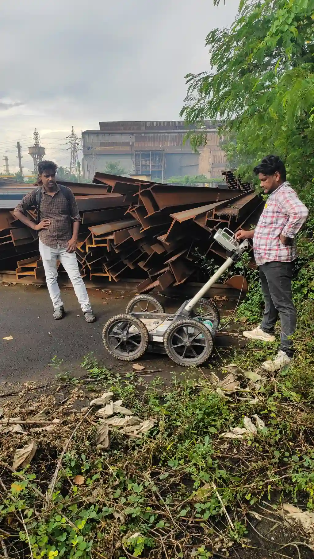
ENG Service

Satellite-based data collection for accurate monitoring & analysis.
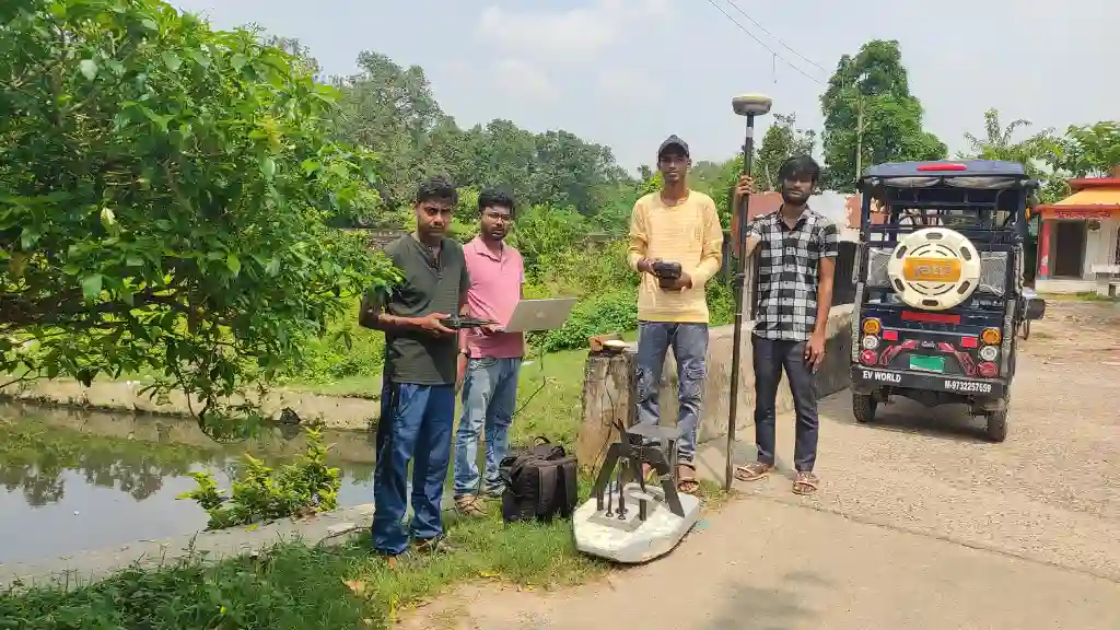
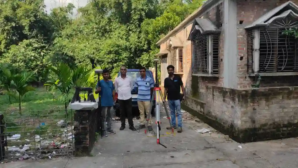
Gis Maping

Smart spatial mapping solutions for planning and decision support.
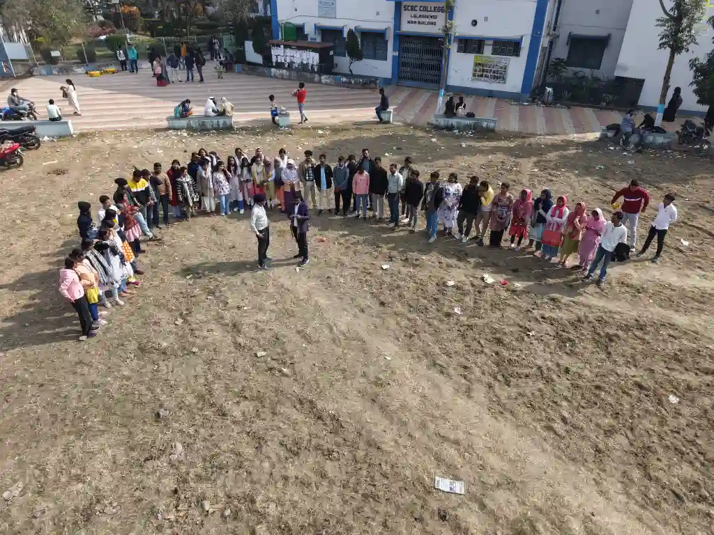
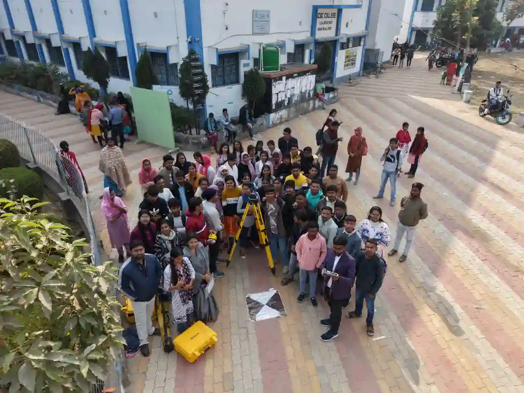
Traning

Professional training with practical field experience.

ABOUT OUR INDUSTRY

Expertise That Shapes Smarter Geospatial Solutions

RS &GIS Solutions Pvt. Ltd. is a leading provider of cutting- edge Geographic Information System (GIS) services, specializing in delivering innovative spatial solutions for a wide range of industries. Established in 2024, our company is driven by a passion for harnessing location-based data to empower businesses and organizations across the globe.

Advanced GIS & Remote Sensing Expertise
Industry-Focused & Scalable Solutions
Modern Tools, Drones & Spatial Technologies
High Accuracy, Quality Data & Timely Delivery

+91 7326030375

WHAT WE DO

why it benefits the client

We help you convert complex geospatial data into clear,
actionable insights that support confident planning and smarter decisions.

🚁 Capture Reliable Aerial Data

High-resolution drone surveys with accurate data capture. Providing real-time visuals and measurable ground insights.

🗺️ Improve Planning & Accuracy

Precise mapping and analysis for better project planning. Reducing errors, risks, and rework across projects.

⏱️ Save Time & Project Costs

Efficient workflows and smart data processing. Delivering results faster without compromising quality.

⚙️ Customized Solutions for Your Needs

olutions designed around your goals and challenges. Ensuring the right approach for every project and industry.

Completed Projects
0 +
Satisfied Clients
0 +
Specialised Employees
0 +

We have twenty years of great experience of industries

WHY CHOOSE US

Delivering precision, technology, and dependable project outcomes

To revolutionize decision-making processes by leveraging advanced GIS technology, providing unparalleled spatial insights, and delivering exceptional value to our clients.

An enlightened and delighted customer benefitting from cost-effective and value-added services.

We endeavors to achieve the value of company through technological up-

gradation, competitiveness, focused approach and cost effectiveness.

Recent Project Gallery 

Some of our finished projects that will amaze your industry

Our Testimonial

Feedback from our valuable customer

Our Clients

Item 1
Item 2
Item 3
Item 4
Item 5
Item 6

Do You Need any Help

Frequently Asked Questions

Item #1

Request A Quote

Scroll to Top