GIS Mapping Services
Home ≫ Service >> GIS Mapping Services
GIS Mapping Services
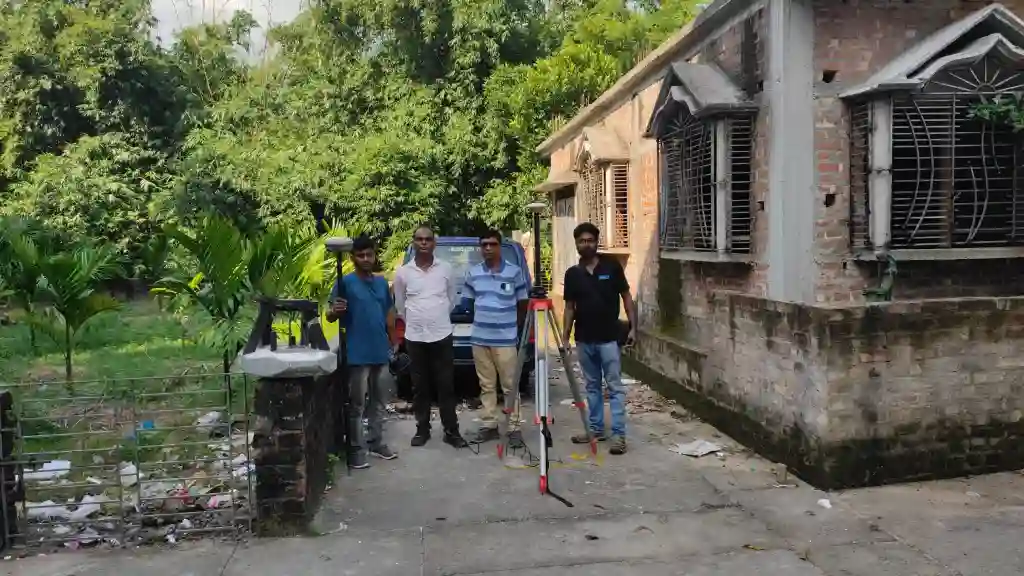
Our GIS Mapping Services provide advanced geospatial solutions to support infrastructure planning, environmental monitoring, land management, and engineering projects. At RS & GIS Solutions Pvt. Ltd., we integrate satellite imagery, field survey data, and modern GIS technologies to produce accurate digital maps and spatial databases.
Our expert team converts complex geographic information into clear, actionable insights that help organizations plan, analyse, and manage projects more effectively.
Our GIS Mapping Services
Topographic Mapping
Preparation of detailed maps showing terrain features, contours, elevation, and natural or man-made structures.
LULC Mapping
Analysis and mapping of land use and land cover patterns using satellite imagery.
Thematic Mapping
Specialized maps representing vegetation, population distribution, soil types, and infrastructure data.
Cartographic Services
Professional GIS map design and visualization for reports, presentations, and spatial analysis.
Utility Mapping
Mapping of underground and surface utilities such as pipelines, electric cables, and drainage networks.
Underground Infrastructure Mapping
Identification and mapping of buried infrastructure for safe construction and excavation activities.
Parcel & Land Ownership Mapping
Digitization and mapping of cadastral boundaries and land ownership records.
Land Boundary Demarcation
Precise identification and marking of property boundaries for legal documentation, land records, and dispute resolution.
Infrastructure Mapping
GIS mapping for roads, railways, pipelines, and other infrastructure networks.
Spatial Data Digitization
Conversion of paper maps and CAD drawings into structured GIS digital databases.
GIS Database Development
Creation and management of spatial GIS databases for efficient data storage and analysis.
WebGIS Mapping Solutions
Interactive web-based GIS platforms for online map visualization and spatial data sharing.
Satellite Image Processing & Analysis
Processing and interpretation of satellite imagery for land analysis and environmental monitoring.