Land Information Management
Home ≫ Service >> Land Information Management
Land Information Management
Our Land Information Management Services provide advanced geospatial solutions for managing land records, property boundaries, and cadastral information. At RS & GIS Solutions Pvt. Ltd., we integrate modern surveying technologies, GIS mapping, and digital databases to create accurate land information systems.
These solutions help government agencies, developers, and landowners efficiently manage land assets, monitor property information, and support planning and development activities with reliable spatial data.
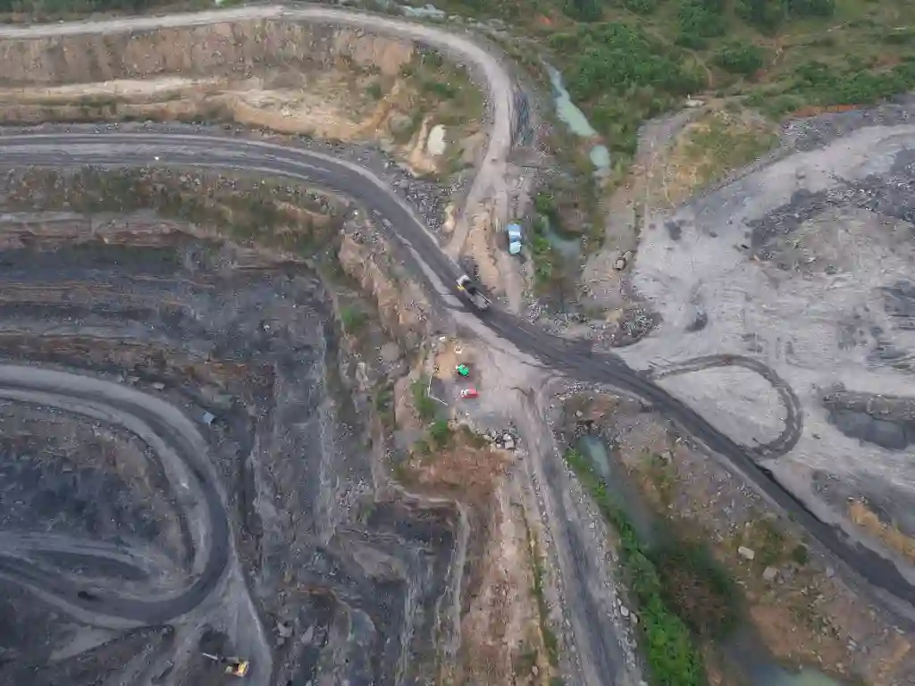
Our Land Information Management Services
Cadastral Map Digitization
Conversion of traditional cadastral maps into accurate digital GIS formats for efficient land record management and spatial analysis.
CS / RS Corresponding LR Map Generation
Preparation of integrated land record maps by aligning CS, RS, and LR data for accurate parcel identification.
Actual Land Boundary Identification
Field verification and identification of actual land boundaries using DGPS and Total Station technologies.
Land Boundary Demarcation
Professional marking and demarcation of property boundaries for legal verification and dispute resolution.
Stakeout Point Survey
Accurate setting out of design coordinates and reference points for construction and infrastructure projects.
3D Digital Map Creation
Development of advanced 3D digital maps and spatial models for improved land visualization and planning.
Plot Partitioning / Land Subdivision
Subdivision of land parcels into multiple plots with accurate boundary mapping and documentation.
Web-Based Land Monitoring System
Development of WebGIS platforms for real-time monitoring of land parcels, boundaries, and spatial data.