Training & Certification
Home ≫ Service >> Training & Certification
Training & Certification
Professional GIS, Remote Sensing & Survey Training Programs
At RS & GIS Solutions Pvt. Ltd., we provide industry-oriented training programs in GIS, Remote Sensing, Drone Data Processing, and Geospatial Technologies.
Our training programs combine theoretical knowledge with real-world project applications to prepare participants for careers in the geospatial industry.
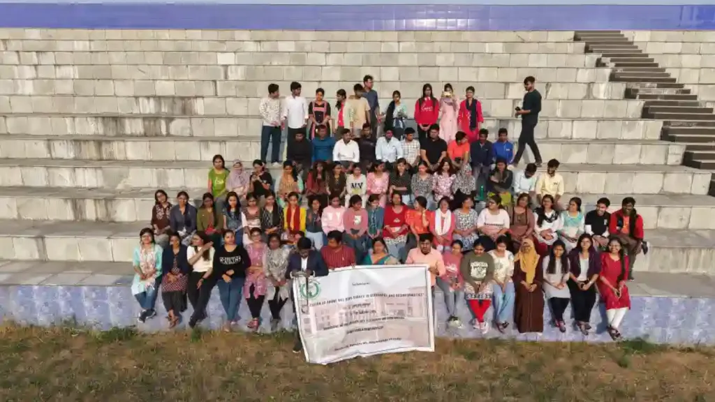
Academic Collaboration (MoU)
RS & GIS Solutions Pvt. Ltd. collaborates with educational institutions to support training, research, and skill development in geospatial technologies.
Partner Institutions
- SCBC College, Murshidabad
- Mirmadan Mohanlal Government Polytechnic
Training Programs
GIS & Mapping Software Training
- ArcGIS
- QGIS
- Global Mapper
Remote Sensing Software
- ERDAS Imagine
- ENVI
- SNAP
- TerrSet
CAD & Engineering Software
- AutoCAD 2D
- MicroStation
Drone & Photogrammetry
- Agisoft Metashape
- Pix4Dmapper
- Mission Planner
Geospatial Programming
- R Programming
- C++
- Google Earth Engine
WebGIS & Online Mapping
- WebGIS Development
- Google Earth Pro
All participants receive professional training certificates from RS & GIS Solutions Pvt. Ltd. upon successful completion of the program.