Precision Surveying Services
Home ≫ Service >> Precision Surveying Services
Precision Surveying Services
Our Precision Surveying Services provide high-accuracy spatial data collection and field measurements using advanced surveying technologies and modern geospatial tools. At RS & GIS Solutions Pvt. Ltd., we combine traditional surveying methods with cutting-edge equipment such as DGPS, Total Stations, Drone Surveys, and Sonar Systems to deliver reliable survey data for engineering, infrastructure, and land management projects.
Our Precision Services
DGPS Survey
High-accuracy positioning using Differential GPS technology for establishing control points, georeferencing, and engineering survey applications.
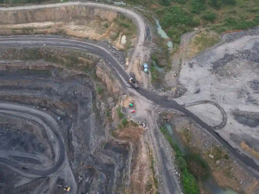
Drone Survey
Aerial data collection using UAVs to produce high-resolution orthomosaic maps, 3D models, and topographic datasets.
GPR Survey
Non-destructive subsurface investigation used to detect underground utilities, pipelines, cables, and buried structures.
Bathymetric / Sonar Survey
Underwater depth measurement using sonar systems for mapping rivers, lakes, reservoirs, and other water bodies.
Total Station Survey
Precise measurement of angles and distances using total station instruments for construction layout and infrastructure surveys.
Quantity Survey
Accurate measurement and estimation of earthwork and construction quantities for project planning and cost management.
Volumetric Survey
Calculation of stockpile volumes, excavation quantities, and material measurements using advanced survey techniques.
Land Boundary Demarcation
Precise identification and marking of property boundaries for legal documentation, land records, and dispute resolution.
Topographic Survey
Detailed mapping of terrain features, elevation, and contours for engineering design and infrastructure planning.
Utility Mapping Survey
Identification and mapping of underground utilities such as water pipelines, electrical cables, and drainage systems.
Route / Corridor Survey
Survey for roads, railways, pipelines, and transmission lines to support alignment planning and infrastructure development.
As-Built Survey
Verification survey to document the exact position of completed structures and infrastructure after construction.